How to use a guide line for guidance in Leica iCON 3D
*This feature is only available when .geo file with linework is loaded.
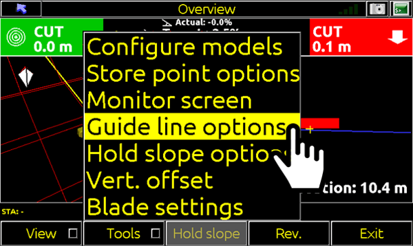
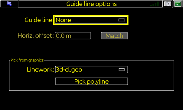
- From the 3D run screen tap Tools > Guide line options
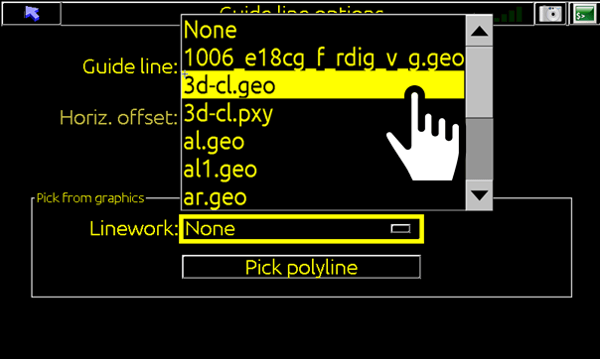
- Frome the Linework dropdown, chose the file (.geo) that contains linework.
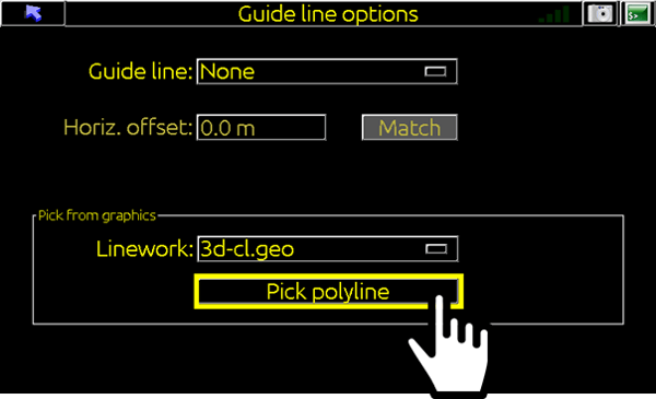
- Tap Pick polyline.
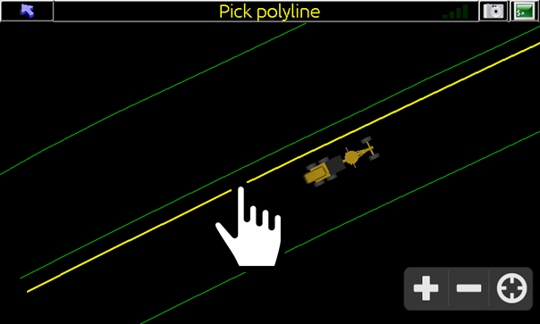
- Tap on the line to be used as guide line.
(The selected polyline will be highlighted yellow and Save Line dialog box will appear)
- From here you can give the line an appropriate name.
(Or select Go to proceed without saving line for future use)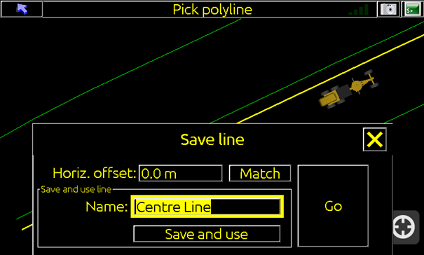
Note: Saved polylines can be accessed from the list at the top of the Guideline Options Screen for future use.
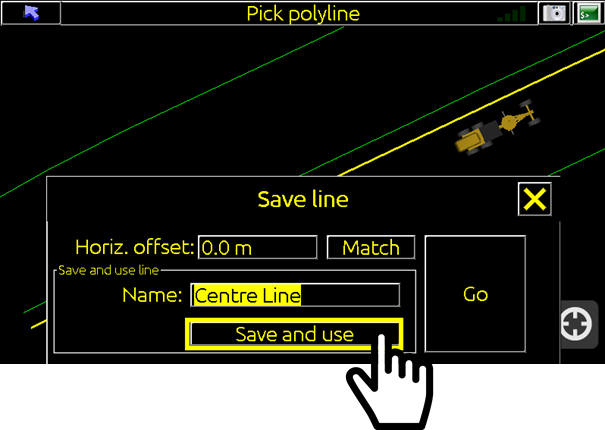
- Tap Save and use.
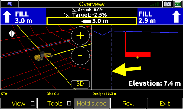
Distance to the selected line is provided in top toolbar and displayed as dotted line in section view.
![Hexagon GS Clearcut x400.png]](https://knowledgebase.globalsurvey.co.nz/hs-fs/hubfs/Hexagon%20GS%20Clearcut%20x400.png?width=80&height=72&name=Hexagon%20GS%20Clearcut%20x400.png)