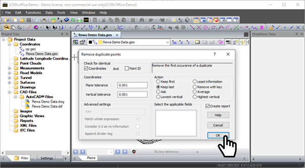
*.l3d files do not support duplicate points, so we recommend you check your .geo file for duplicate points prior to creating your *.l3d file.
Removing Duplicate Points
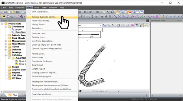
Within a DXF file coordinate records are stored at the start and end of every line feature. This results in “Duplicate points” in files. Leica iCON Office allows you to remove duplicates from *.geo files.
-
Go to Data → Remove Duplicate Points
-
Confirm what settings you want to use and click OK
-
Once you have finished you will get a list of removed points. Close this window and then save your *.geo file.
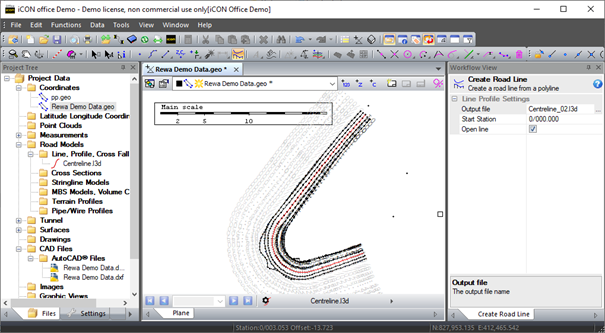
Creating Centreline Files
Make sure your line work is saved as a *.geo prior to creating road line data.
-
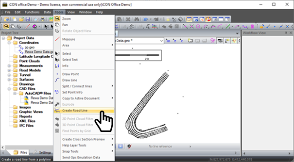
Go to Tools → Create Road Line
-
The create road line wizard will open on your screen. Change the output file to the relevant design name with the extension *.l3d at the end of the name and set the start chainage if relevant.
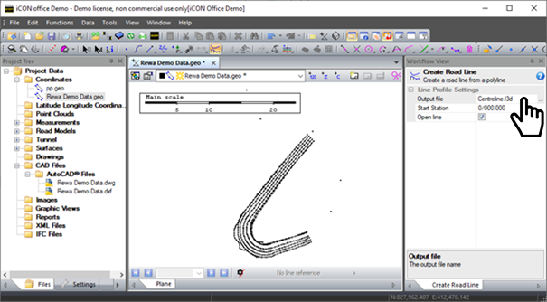
-
Once you have set the file name then click on the correct line in your map view and it will create a *.l3d file for this line. Your *.l3d file will now appear in your map view and project tree.